

Tanzania is located in East Africa, on the coast of the Indian Ocean, just south of the equator. The country extends between 1° and 11°45′ south latitude and shares borders with eight countries. To the north, it borders Kenya and Uganda; to the west, Rwanda, Burundi, and the Democratic Republic of the Congo; and to the south, Zambia, Malawi, and Mozambique. It also includes the islands of the Zanzibar Archipelago and the island of Mafia.
On a map of Africa, Tanzania is located where the continent begins to narrow toward the south, between Lake Victoria and the ocean. Mount Kilimanjaro marks the border with Kenya to the north. Lake Tanganyika separates it from the Congo to the west. The Ruvuma River forms the border with Mozambique to the south.
| Continent and Region | Eastern Africa, bordering the Indian Ocean |
|---|---|
| Area | Approximately 947,000 km², more than three times the size of Italy |
| Population | 61.7 million according to the 2022 census, growing rapidly |
| Capital | Dodoma. The largest city and main port is Dar es Salaam |
| Official Languages | Swahili and English |
| Highest Point | Uhuru Peak, Kilimanjaro: 5,895 m, the roof of Africa |
| Coast | Approximately 1,400 km along the Indian Ocean, excluding islands |
| Time Zone | UTC+3: one hour ahead of Italy during daylight saving time, two hours ahead during standard time |
| Distance from Italy | About 5,600 km as the crow flies from Rome to Kilimanjaro, 6,000 km from Rome to Dar es Salaam |
Tanzania’s borders, country by country
Many of Tanzania’s borders are on water: three large lakes and two rivers mark much of the perimeter.
- Kenya (northeast): This is the border most frequently crossed by travelers. It runs from Lake Victoria to the ocean, passing between the Serengeti and the Masai Mara Reserve and at the foot of Kilimanjaro. The Tanzanian side of the border is where the Great Migration takes place. If you’re considering both countries, read our comparison of safaris in Kenya and Tanzania.
- Uganda (northwest): It shares Lake Victoria with Tanzania.
- Rwanda and Burundi (west): These are small, hilly countries bordering the Kagera region and Lake Tanganyika.
- Democratic Republic of the Congo (west): It does not share a land border with Tanzania. The two countries face each other from opposite shores of Lake Tanganyika.
- Zambia and Malawi (southwest): Lake Malawi—known as Lake Nyasa in Tanzania—separates Tanzania from Malawi.
- Mozambique (south): The border follows the Ruvuma River to the ocean.
The Geography of Tanzania: Six Very Different Regions
Tanzania is a large country, and its geography varies greatly from one region to another: savannas and volcanic craters, lakes as deep as seas, mountain forests, and coral beaches. To find your way around the map, it’s best to divide it into six regions.
1. The North: Kilimanjaro, the Rift Valley, and the most famous parks
The north is the region of classic safaris and the Africa you see in documentaries. Here, the Eastern Rift Valley has shaped a landscape of volcanoes, cliffs, and salt lakes. It includes:
- Kilimanjaro, the world’s tallest isolated mountain;
- Mount Meru, 4,562 m, which towers over Arusha;
- the Ngorongoro Crater, a caldera approximately 19 km wide;
- Lakes Natron, Manyara, and Eyasi;
- the Serengeti Plains, which extend into Kenya’s Maasai Mara.
Arusha is the gateway to safaris on the so-called “Northern Circuit.” Those wishing to climb to the summit set out from Moshi: all itineraries are listed on our page about trekking on Kilimanjaro.
2. The Northwest: Lake Victoria
Lake Victoria is Africa’s largest lake, and about half of its surface area belongs to Tanzania. On its southern shore lies Mwanza, the country’s second-largest economic city. This area is not very touristy, but between June and July, in the western corridor of the Serengeti, migrating herds arrive near the lake’s shores.
3. The West: Lake Tanganyika and the primate forests
Lake Tanganyika is about 670 km long and up to 1,470 m deep; it is the second-deepest lake in the world after Lake Baikal. On its shores lie Gombe Park and Mahale Mountains National Park—both famous for their chimpanzees—as well as the city of Kigoma. This is the most remote part of Tanzania, accessible primarily by plane.
4. The Central Region: Plateau and Capital
The central part of the country is a semi-arid plateau at an elevation of 1,000–1,500 meters. Dodoma is located here; it has been the official capital since 1973 and the seat of government since 2019. We discuss this decision—and the role that Dar es Salaam continues to play—in the article on the capital of Tanzania.
5. The South: Wilderness Parks and Green Highlands
The South is home to the country’s largest and least-visited protected areas:
- the Selous Game Reserve, now largely part of Nyerere National Park;
- Ruaha National Park.
Further to the southwest lie the green, tea-planted highlands of Iringa and Mbeya, and Lake Nyasa. The Rufiji River, the country’s most important river, flows through the Selous and empties into the ocean off the coast of Mafia Island.
6. The Coast and Islands of the Indian Ocean
The coast has a hot, humid climate, featuring mangroves, coral reefs, and the ancient Swahili cities of Bagamoyo, Kilwa, and Dar es Salaam. Off the coast lie three main islands:
- Unguja, which everyone calls Zanzibar;
- Pemba, further north;
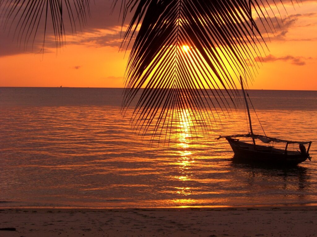
- Mafia, to the south, a marine park frequented by whale sharks.
Unguja and Pemba formthe Zanzibar Archipelago, a semi-autonomous region with its own government. Mafia is part of mainland Tanzania. To help you choose where to stay in Zanzibar, we have a guide on where to go and what to see on the island.
Climate: Why Location Matters
Tanzania is close to the equator, so temperatures vary little throughout the year. Two factors really make the difference.
The first factor is altitude. It is hot and humid on the coast and in Zanzibar, with highs around 30 °C. On the Arusha and Ngorongoro plateaus, the days are mild and the evenings are cool. At the summit of Kilimanjaro, temperatures drop below freezing.
The second factor is rainfall, which occurs during two seasons:
- the long rains (masika), from March to May;
- the short rains (vuli), between November and December.
The dry seasons run from June through October and, to a lesser extent, from January through February. These are the best times for safaris and beach vacations. The Great Migration moves throughout the year:
- In January and February, the wildebeests give birth in the southern Serengeti;
- from July through September, they cross the Mara River in the north.
The month-by-month schedule is in the article on when and where to see the Great Migration, while you’ll find everything you need to choose your travel dates in the guide to the best time to visit Tanzania.
How to Get to Tanzania from Italy
Tanzania has three international airports, one for each of the main tourist areas:
- Kilimanjaro (JRO), between Arusha and Moshi, for safaris in the north and trekking;
- Dar es Salaam (DAR), for the south and the coast;
- Zanzibar (ZNZ), for beach vacations.
Flights from Italy almost always include a layover—either in the Middle East, Addis Ababa, Nairobi, or elsewhere in Europe. The total travel time is 11–16 hours. Seasonal direct flights to Zanzibar are also available. Routes and airlines are listed on our page about flights from Italy to Tanzania.
A bit of history: from Olduvai Gorge to the United Republic
Tanzania is one of the cradles of humanity. In Olduvai Gorge, between Ngorongoro and the Serengeti, hominid remains dating back nearly two million years have been found. The oldest known hominid footprints, left approximately 3.6 million years ago, are preserved at Laetoli.
The major milestones in the town’s history:
- Early centuries A.D.: The coast was already trading with Arab, Persian, and Indian merchants. The Swahili culture and language emerged from these exchanges.
- From 1505: The Portuguese controlled part of the coast for about two centuries.
- 19th century: The sultans of Oman made Zanzibar the capital of their trading empire.
- From 1885: The interior became the colony of German East Africa.
- After World War I: The territory passed to British control under the name Tanganyika.
- 1961–1963: Tanganyika gained independence in 1961, and Zanzibar in 1963.
- April 26, 1964: The two states united to form the United Republic of Tanzania. The name combines the first syllables of Tanganyikaand Zanzibar.
Today, more than 120 ethnic groups live in the country. The full story—from Kilwa to Nyerere—can be found in our history of Tanzania.
What to See, Area by Area
| Area | What to See | Ideal for |
|---|---|---|
| North | Serengeti, Ngorongoro, Tarangire, Manyara, Kilimanjaro | First safari, Great Migration, hiking |
| South | Nyerere (Selous), Ruaha | Safaris away from the crowds, boat safaris, and walking safaris |
| West | Gombe, Mahale Mountains, Lake Tanganyika | Chimpanzees, experienced travelers |
| Coast and Islands | Zanzibar, Stone Town, Pemba, Mafia | Sea, diving, Swahili culture |
The most popular combination is a safari in the north followed by a few days at the beach in Zanzibar, connected by a domestic flight of about an hour. The must-see stops are listed in our selection of places to visit in Tanzania.
Frequently Asked Questions
On which continent is Tanzania located?
Tanzania is located in Africa, in the eastern part of the continent. It borders the Indian Ocean and lies just south of the equator, between 1° and 11°45′ south latitude.
Which countries does Tanzania border?
Tanzania borders eight countries: Kenya and Uganda to the north, Rwanda, Burundi, and the Democratic Republic of the Congo to the west, and Zambia, Malawi, and Mozambique to the south. To the east, it faces the Indian Ocean.
Is Zanzibar part of Tanzania?
Yes. Zanzibar joined Tanganyika in 1964 to form the United Republic of Tanzania. It has its own president, its own parliament, and specific entry requirements, but the currency and visa requirements are the same as in the rest of the country.
How big is Tanzania compared to Italy?
Tanzania covers an area of about 947,000 km², which is a little more than three times the size of Italy. From north to south and from east to west, it stretches over 1,000 km.
How many hours are there in flight from Italy to Tanzania?
With one stopover, the total journey time is between 11 and 16 hours. Seasonal direct flights to Zanzibar take about 8–9 hours.
What’s the time difference between Italy and Tanzania?
Tanzania is on UTC+3 and does not observe daylight saving time. When Italy observes daylight saving time, Tanzania is one hour ahead; during standard time, it is two hours ahead.
Now that you have a clear map, all that’s left to do is choose your route. Our team works in Arusha, at the foot of Mount Meru, and creates tailor-made itineraries through parks, mountains, and islands. You can base your itinerary on pre-planned Tanzania trips and adapt them, or tell us what trip you’re planning : we’ll propose a route with realistic distances and times.